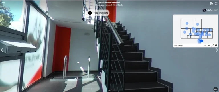
Add a searchable locator map to your virtual tour .
Locator Map helps users quickly find, view, and navigate locations on a map, offering zoom, directions, real-time data, and easy access to places.
Fully customizable, embeddable in minutes, no coding required.
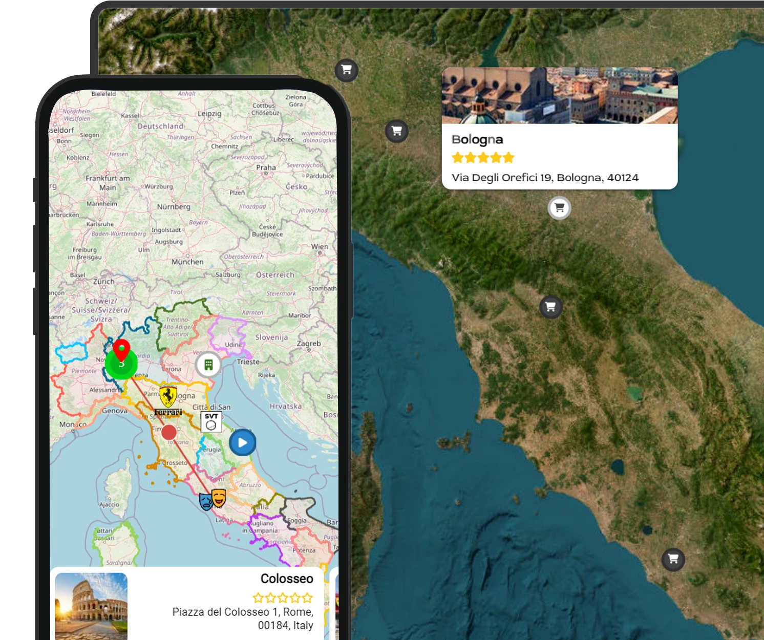
Seamlessly integrate our locator map
with your virtual tour.
Show where something happened or is located with our powerful locator maps.
3D view of buildings
A feature that displays buildings in a 3D perspective, offering a more detailed and realistic view of the mapped area.
Inset maps
Smaller, detailed maps within a larger map, used to highlight specific areas or provide additional context and clarity.
Map legend
A guide explaining symbols and colors used on a map, helping users interpret and understand the map's features.
Responsive
A responsive map tool that allows users to easily find and view locations on any device, adapting to all screen sizes.
Tooltips
Interactive pop-ups that provide additional information about specific locations when hovered over on the map.
Simple control panel
Add and customize your locator effortlessly, no coding skills needed, making it simple for anyone to use.
Unlimited traffic
Vrmow offers unlimited traffic support when using your own Mapbox or Google Maps key, ensuring seamless performance.
Super-fast setup
Quickly create your locator map database using our easy-to-use dashboard for seamless integration with your Virtual Tour.
Locator Map
Simply show “Here it is”
…and then show the context with our inbuilt hill shading, region highlights, inset maps, etc.
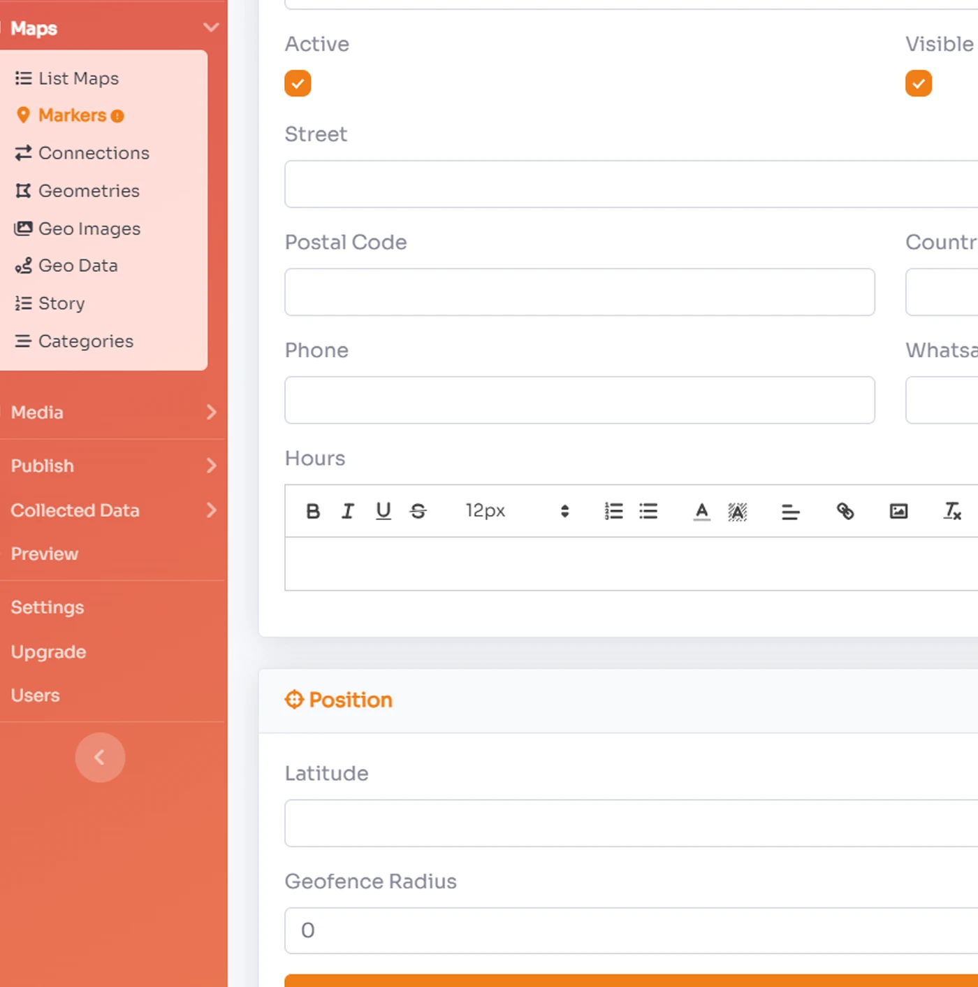
Add markers to highlight locations and areas
Search for cities, points of interest, or addresses, or click on the big, blue “Add marker” button – and voilà, you get a point marker.Or highlight whole regions with area markers and style them. Select them directly in our tool, or import them as GeoJSONs.
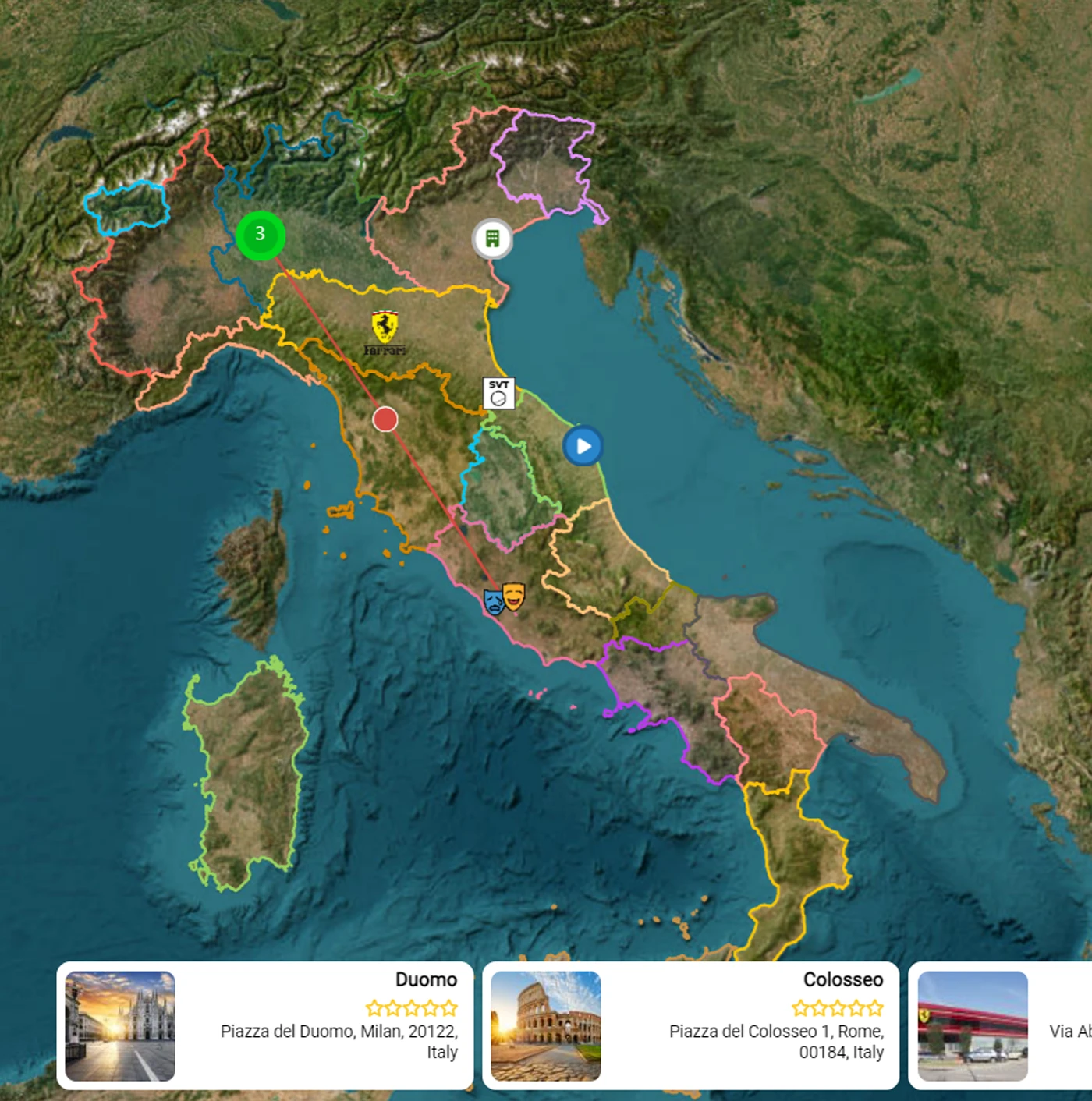
Show mountains & valleys with one click
If you’re creating a map about a hilly area, it’s helpful to show a shaded relief. In our locator maps, that’s a click away.Our full-vector export for locator maps also includes shaded relief. Export the locator map as an SVG or PDF, and then change the colors, opacity, etc. of the hillshades.
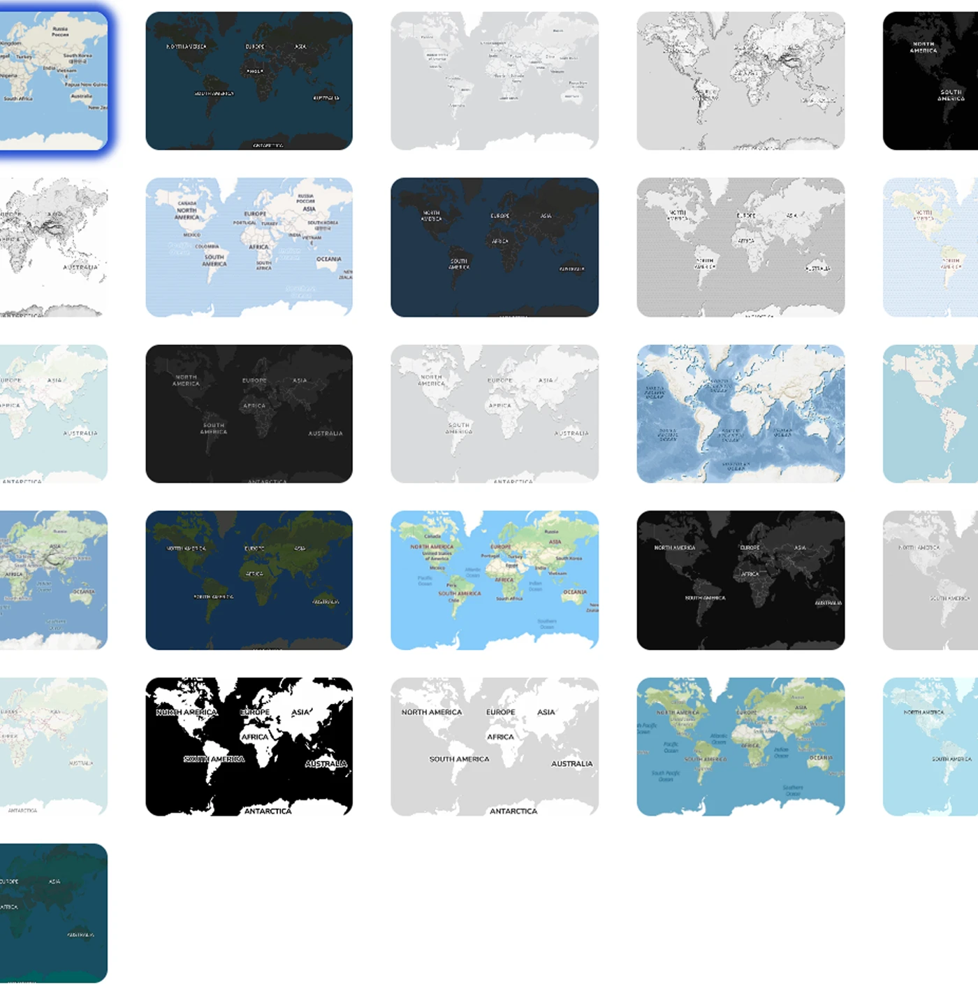
Choose between 26 different map styles
Our locator maps come with 26 map styles you can pick from. And you can customize each style further by toggling different layers on and off.
If you’re interested in a custom map style for your organization, get in touch with us;
Frequently asked questions:
-
How do I add custom markers to the Locator Map?
You can add custom markers by accessing the map's settings and uploading your desired marker icons. You can also specify coordinates for precise placement.
-
Can I integrate with Google Maps or Maptiler?
Yes, the Locator Map can be integrated with both Google Maps and Maptiler by entering your API key in the integration settings.
-
Is the Locator Map responsive on mobile devices?
Yes, the Locator Map is fully responsive and will adapt to different screen sizes, ensuring optimal usability on mobile devices.
-
How do I enable 3D building views on the Locator Map?
To enable 3D building views, go to the map settings and toggle the 3D buildings option. This will provide a more detailed and realistic view of the area.
-
Can I customize the map legend in the Locator Map?
Yes, you can customize the map legend by accessing the legend settings. You can modify colors, symbols, and text to suit your needs.
View Virtual Tour Explore
All virtual tours Explore

360 Virtual tour
- •
- August 28, 2024
VR VIDEO STREAM
- •
- August 28, 2024
VIRTUAL TOUR
- •
- August 28, 2024

